Mineral prospecting on a shoestring
A registered gold claim sits in the Mberengwa (Belingwe) greenstone belt near Zvishavane, Zimbabwe. The holder has walked the ground, has the Geological Survey sheet, and has zero budget for trenching, geophysics, or commercial remote sensing. The question is not "can satellites find gold" (they cannot) but a narrower, answerable one: can free satellite and DEM data narrow ~300 hectares down to the few hundred metres worth sampling next?
This report works that question end to end on free, cloud-native data, with every
figure produced by a re-runnable folia.fetch recipe. It is organized as the
holder's three questions.
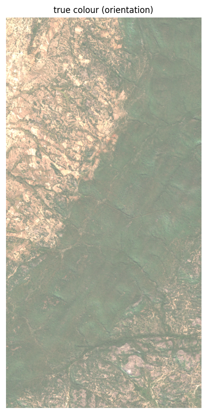
The location, and a correction worth seeing
The holder supplied corner coordinates labelled UTM Zone 36S. Taken at face
value, the claim centroid lands at ~36°E on the Mozambique coast, about 615 km
from Zvishavane. The eastings near 30°E are a Zone 35S signature: read as
EPSG:32735 the claim sits ~19 km north of Zvishavane, in the greenstone belt,
which the supplied geology sheet confirms. The Sentinel-2 tile that covers it is
T35KRT, MGRS zone 35, an independent check.
research/mineral-prospecting/aoi/build_aoi.py.
Data sources
All free. Tier-1 was already in the Folia catalog; Tier-2 was registered for this
report. Heavy reads use windowed folia.fetch (only the COG blocks touching the
AOI), so the whole study pulled about 15 MB, not gigabytes.
| Source | Folia id | Role |
|---|---|---|
| Sentinel-2 L2A | @esa/sentinel-2/l2a |
iron oxide, broad alteration, vegetation + cloud masks |
| Landsat C2-L2 | @usgs/landsat/c2-l2 |
cross-check; long historical record |
| Copernicus DEM GLO-30 | @esa/copernicus-dem/glo-30 |
structure: hillshade, slope, curvature, lineaments |
| Sentinel-1 RTC | @esa/sentinel-1/rtc |
radar texture, cloud-proof structural read |
| ASTER L1T | @nasa/aster/l1t |
pre-2008 SWIR for real alteration-mineral ratios |
| EMIT L2A | @nasa/emit/l2a-reflectance |
hyperspectral ceiling (coverage check) |
| NISAR GCOV | @nasa/nisar/gcov |
L-band, vegetation-penetrating (coverage check) |
What the three questions resolved
| Question | Short answer | Detail |
|---|---|---|
| 1. Gossans / iron oxide | Yes, as a prioritization layer. S2 B04/B02, B11/B08, Crosta PCA. Laterite is the main false positive. |
Iron oxide & gossans → |
| 2a. Alteration without a spectral library | An anomaly, yes; a mineral ID, no, not from Sentinel-2. ASTER (5 pre-2008 scenes here) and EMIT (7 granules) reach the ceiling. | Alteration mapping → |
| 2b. Gold-bearing structures | The strongest free layer. DEM lineaments resolve below the 1:100k map; dominant NW-SE grain. | Structure & lineaments → |
| 3. Free tools for a beginner | QGIS, Copernicus Browser, GEE, STAC + Python, SNAP, and where Folia fits. | Tools & platforms → |
Honest framing
Reproducibility
The recipes live in research/mineral-prospecting/ in the Folia repo, one
directory per arm, each a working Python script over folia.fetch. Re-running
any arm is a cache hit (windows are keyed by AOI), so it costs no new download.
One implementation note surfaced along the way: folia.fetch currently returns
only the first band of a multiband COG, which matters for ASTER (its SWIR ships
as one six-band file); the alteration recipe documents the workaround.